Illinois
|
Casey
|
Martinsville
|
Marshall
|
|
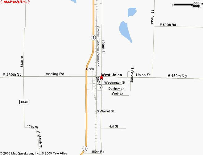
West Union
|
Westfield
|
|
(Click on thumbnails to open map)
County Maps

Township Maps
Go to township section and access particular township for map.
Driving times to Major Cities
This map shows driving times from Marshall to major Midwestern Markets.
About Our Addressing.....
North-south routes are known as "streets" while east-west routes are known as "roads". The numerical designation, as in 1250th Road, means the road is located 12.5 miles North of the southern County line (the numbers run higher as you go north). Streets, as in 1250th Street is located 12.5 miles East of the Clark county western border and will run higher as you continue east to the state line. Addresses also identify the distance north and south- there are 1,000 addresses per mile. Most named roads retained their name as well as state and federal highways.
Even numbered addresses are on the East or South side of the street or road, odd-numbered addresses are on the west or north sides. If your road sign reads 1250N, this designates that you are approx 12.5 miles N of the southernmost county line, if your road sin reads 650E, that means you are approx 6.5 miles east of the Coles County or westernmost county line.
Piece of cake! These standards have been adopted state-wide for 911 addressing purposes.